Liberal Forum
Archive
‹
The Water Cooler Chat Room
‹
Trump may have broken federal law by altering Hurricane Dorian's path on a map.

4 Sep 2019 6:38 pm
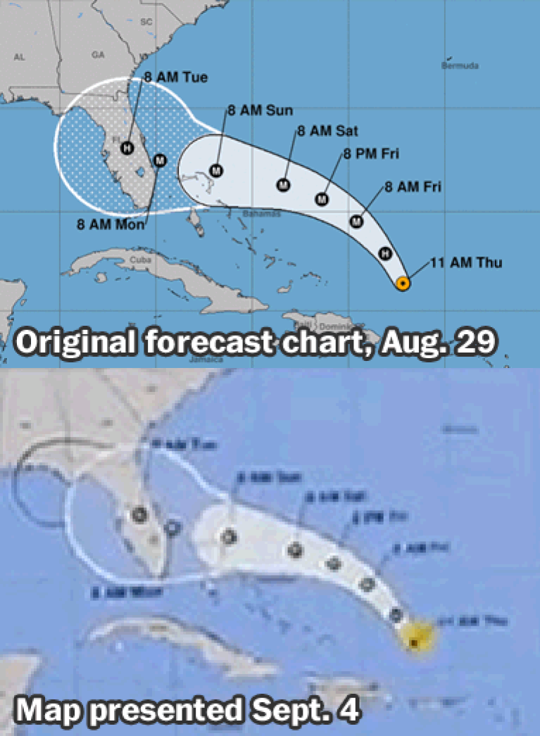
Yes. I am seeing that someone drew a black line with a sharpie on a map that Trump displayed TODAY to make it look like Alabama is still within the cone of the storm.Lucifershammer » 04 Sep 2019 6:30 pm » wrote:Do you even undersrand what what you're seeing?Misty » 04 Sep 2019 5:49 pm » wrote:So the hurricane center draws on their maps by hand in black sharpies now?

They show the 'cone' in white.
They don't extend it with a black sharpie.
Look at this GIF again.
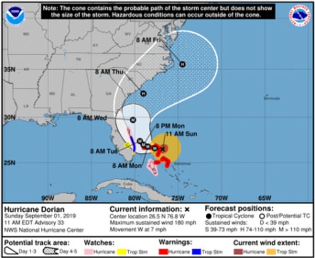
This is the predicted path of the storm on the day he Tweeted that Alabama would take a hit (Sept. 1st.)
The 'cone' is no where near Alabama.
And FYI, I'm not the only one who can see that.
Use the Google.
He is causing a lot of confusion because he is incapable of admitting that his Tweet on Sept. 1st was wrong.